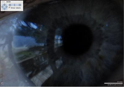
Tom Larkin is using Microsoft’s Virtual Earth Mapcontrol to view large images. He has used the MSR provided MapCruncher to create the layers and is using Amazon’s S3 to host the images. I like the idea of zooming around someone’s face (look at the lake’s reflection in his eye) or an ancient map of a French Isle.
(Found via the VE blog)

